Get to know your neighborhood a little better. Get fit. Get back to nature without having to pack up and leave town.
Whatever your summer goals are, below are a few urban hikes that will ease your way into the great outdoors and help you stay active. While some of them are more walks on paved sidewalks than treks on dirt trails, all of them are highly enjoyable (and it’s okay to take it easy when you’re just starting out).
Mural Mile

Photo from muralmile.org.
Starting Point: Metro Bus 233 to Van Nuys/Norris, Metro Rapid 794 to San Fernando/Van Nuys
Distance: 4 miles roundtrip
Difficulty: easy
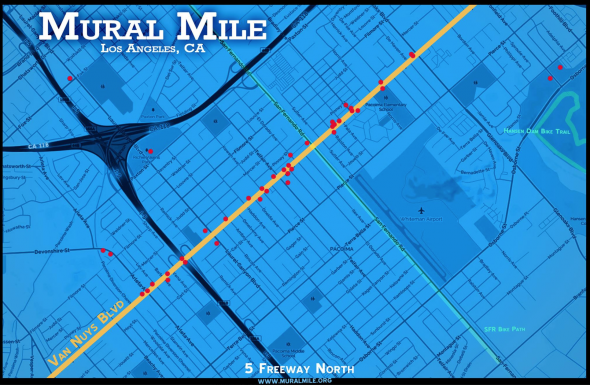
Click to enlarge.
Pacoima native Levi Ponce led the movement to turn blank walls along Van Nuys Boulevard into colorful canvases in an effort to beautify the area. Start at the intersection of Van Nuys Boulevard and Herrick Avenue at the mural depicting Tongva medicine woman Toypurina. Walk until you reach Ponce’s Lady of the Valley, about two miles southwest near Arleta Avenue. Along the way, you’ll be able to enjoy 20+ murals!
East Griffith Observatory Trail
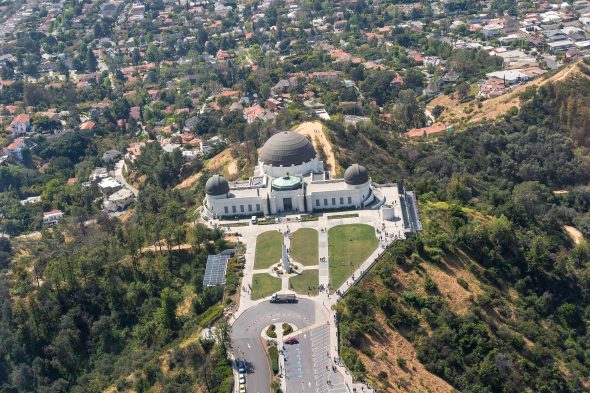
Griffith Observatory. Photo: Steve Hymon.
Starting Point: Greek Theatre/corner of Vermont and Commonwealth Canyon Drive via DASH Observatory shuttle
Distance: 1.4 miles roundtrip
Difficulty: easy
Griffith Park is the largest municipal park with urban wilderness in America, and there are plenty of hiking trails in the park worth exploring. An easy one to start with is the East Griffith Observatory Trail. Take the Red Line to Vermont/Sunset Station, then connect with the DASH Observatory shuttle to the Greek Theatre. Walk west on Vista de Valle. The trail begins past the shaded picnic table. At the end of the trail you’ll be at the Griffith Observatory. You can then catch the shuttle back down if you’re too tired to walk, or continue on to another trail!
Baldwin Hills Scenic Overlook
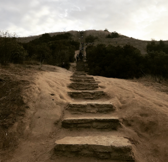
Photo by katyaryn via Instagram.
Starting Point: Hetzler Road and Jefferson Boulevard via Culver City Bus or the Expo Line
Distance: approximately 1.5 miles roundtrip
Difficulty: moderate to difficult
This hike goes through a rehabilitated prairie to an overlook with sweeping views of the L.A. Basin. Though short, the trail is basically one long staircase which makes for a great workout. Take Culver City Bus 4 to Jefferson/Holdrege — the stop is a 5-minute walk from the trailhead — or walk from the Expo Line La Cienega/Jefferson Station. The walk from La Cienega/Jefferson Station is approximately one mile southwest on Jefferson Boulevard. On weekends, The Link – Baldwin Hills Parklands shuttle is available from La Cienega/Jefferson Station to the overlook.
Music Box Loop
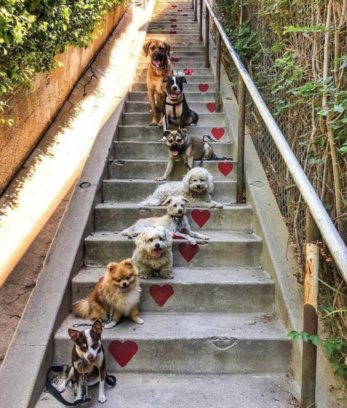
Photo by ruffcutzdtla via Instagram.
Starting Point: Metro Bus 201 to Parkman/Sunset, Metro Bus 2/302, Bus 4 or Rapid 704 to Sunset/Silver Lake
Distance: 2.5-mile loop
Difficulty: easy to moderate
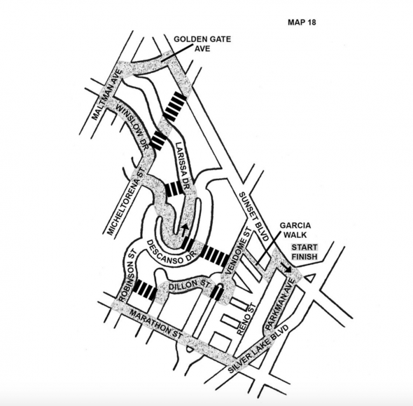
Map of the loop.
Arroyo Seco + Rose Bowl
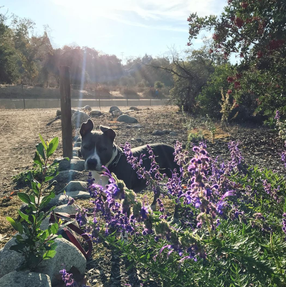
Enjoying some sunshine in the Lower Arroyo Seco. Photo: Anna Chen.
Starting Point: San Pascual Stables via the Gold Line or Metro Bus 176 to Pasadena/Mission
Distance: approximately 9 miles roundtrip
Difficulty: easy
Take a leisurely walk from South Pasadena upstream along the Arroyo Seco to the Rose Bowl. Start at South Pasadena Station and walk approximately one mile west on Mission towards the Arroyo Seco Racquet Club, or take Metro Bus 176 to Pasadena/Mission. From there, head north toward the San Pascual Stables and enter the Arroyo Seco Trail, which follows the Arroyo Seco flood control channel at the bottom of a canyon.
Approximately 1.5 miles north you’ll be in the Lower Arroyo Park, where the casting pond and field archery range are located. Continue north on the trail, pass under the Colorado Street Bridge and shortly afterward, the 210 freeway bridge. The trail rises up a very short hill and ends at Arroyo Boulevard. Follow that north to Seco Street, where you can pick up the 3.3-mile pedestrian/running path that circles the Rose Bowl and adjacent Brookside Golf Course.
Echo Mountain
Distance: approximately 5 miles roundtrip
Difficulty: moderate to difficult